
geography
Country by Country World Geography Curriculum
Geography is something I want my kids to know. I think this comes largely from me growing up feeling inadequate in this area. I did not have a good grasp...
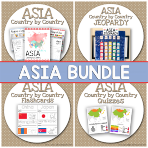
Asia Country by Country
Today we are sharing our next set in our Country by Country series – ASIA! Be sure to look at our GROWING BUNDLE option which you can purchase to gain...
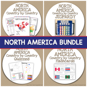
North America Country by Country
Recently we released AFRICA Country by Country, EUROPE Country by Country, and SOUTH AMERICA Country by Country! Today we have our next set in our new Country by Country series...
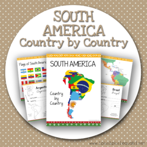
South America Country by Country
Recently we released AFRICA Country by Country and EUROPE Country by Country today we have our next set in our new Country by Country series – SOUTH AMERICA! We have...
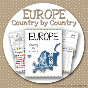
EUROPE Country by Country
Recently we released AFRICA Country by Country and today we have our next set in our new Country by Country series – EUROPE! Each country has one page with a...
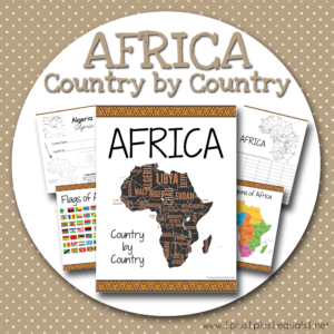
AFRICA Country by Country
Many of you may remember our USA State by State that was released in 2017. It was created with the idea of keeping it simple and learning the basics. We...
LIFEPAC ~ History/Geography Review
I have been going to homeschool conventions for many years now, and have been homeschooling since my 16 year old was in PreK. This past spring I spent some time...
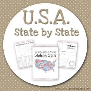
U.S.A. State By State
We have a brand new product thanks to my son! I wanted something to help him review the United States but without coloring, and all of the fluffy stuff like...
USA Geography Plan for 3rd Grade
I wasn’t completely sure what I was going to do for geography with Ladybug for her upcoming 3rd grade homeschool year. Recently I decided to focus on United States Geography!...
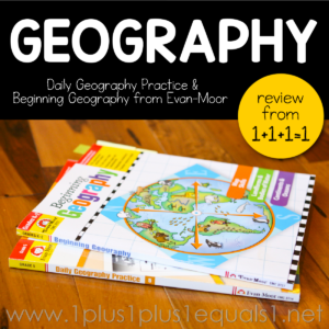
Evan-Moor Geography Books Review
{disclaimer ~ affiliate links are used} I love geography and I love Evan-Moor! In this post, you will find a review of two different geography books from Evan-Moor. The first...
Hands on USA Geography
Learning U.S.A. Geography doesn’t have to be boring. We have a few favorite resources for hands on U.S.A. states and capitals fun that I want to share with you today....
Peel, Play and Learn USA Map Set Review
{disclaimer ~ Educents is a blog sponsor and provided the USA Map Wall Play Set for review} Educents is the trusted resource for every child’s education. Whether you’re looking...
